
Live Watch here
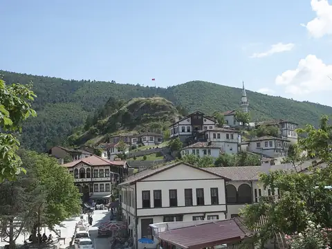
Şuhut City Camera
Şuhut, Afyonkarahisar
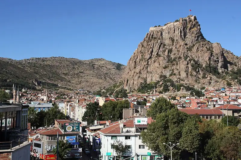
Afyonkarahisar lies in the inland part of Turkey's Aegean Region and takes its name from the historic fortress perched on a steep rock above the city centre. The province, licence-plate code 03, is home to about 710,000 people in 18 districts. It is known for its thermal spas, clotted cream (kaymak), sucuk sausage, Turkish delight and marble, and for Kocatepe, where the Great Offensive of the Turkish War of Independence began. It is also a key road junction linking routes towards Ankara, Izmir, Antalya and Konya.
That crossroads position makes road and weather information especially useful for drivers passing through. With a continental climate, winters are cold and snowy, and fog or icy patches can appear in the early morning. Holiday periods bring noticeably heavier traffic on the main highways. This page features a city camera in Şuhut, current weather for the province and live data for surrounding districts, along with links to other live cams nearby.
Afyonkarahisar (03) is a province of Turkey with 18 districts and about 709,015 inhabitants. 1 live cam listed here; 1 were online at the last check. Streams that allow embedding play on this page, the others open at the official source.
Streams that are online are listed first.
Sorted by straight-line distance.
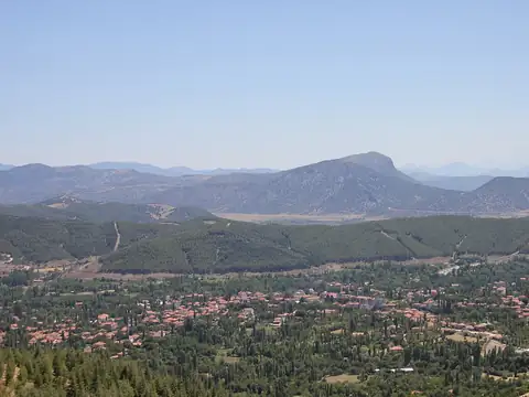
Ağlasun, Burdur 116 km
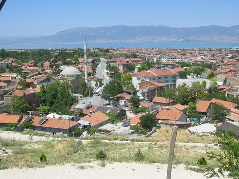
Burdur, Turkey 135 km
Burdur, Turkey 136 km
Burdur, Turkey 136 km
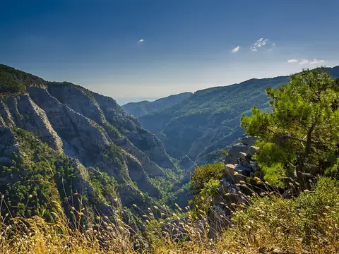
Dursunbey, Balıkesir 201 km

Osmangazi, Bursa 205 km
Geyve, Sakarya 205 km

Kestel, Bursa 208 km
Each district page has live weather, road risk, neighbouring districts and a satellite map.
Afyonkarahisar lies at 38.685°N 30.643°E, about 994 m above sea level. Nearby: Isparta (87 km), Uşak (111 km) and Kütahya (118 km). Population: about 709,015.
At the latest reading it was 9°C (light rain), with wind at 9 km/h. Over the next 7 days highs average around 14°C and lows around 5°C. The warmest day should be Thu, October 22 (18°C), the coolest night Mon, October 19 (2°C). The 16-day forecast shows rain on 3 days.
Hourly and 16-day forecast: Afyonkarahisar weather.
In the last 12 months 222 earthquakes were recorded in this area; 4 of them were magnitude 3 or above. The largest was a magnitude 3.5 quake near Çay, Afyonkarahisar on June 10. The nearest active fault line is about 3 km southwest. Earthquake data comes from AFAD and is refreshed every few minutes.
Today the sun rises at 07:07 and sets at 18:18, giving 11 h 11 min of daylight. Around the June solstice daylight lasts 14 h 52 min; around the December solstice, 9 h 27 min. For photos, the evening golden hour starts at about 17:42 today.
We list 1 live cam for Afyonkarahisar; 1 were live at the last check.
Live data pages for this place: Afyonkarahisar weather, Afyonkarahisar earthquakes, Afyonkarahisar air quality, Afyonkarahisar sunrise and sunset.
Afyonkarahisar – map and satellite
38.685°N 30.643°E
Map tiles load from the map provider, which receives your IP address.
Live cams near me
Your location is used only on this device to calculate distances; it is never sent to our server.
Your cookie choices
Cookies needed to run the site are always on. We load third-party services for stream autoplay, visit statistics and ads only if you allow them. Details: Cookie policy, Privacy notice.