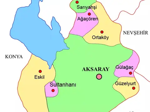
Live Watch here
Sarıyahşi City Camera
Sarıyahşi, Aksaray 45 km
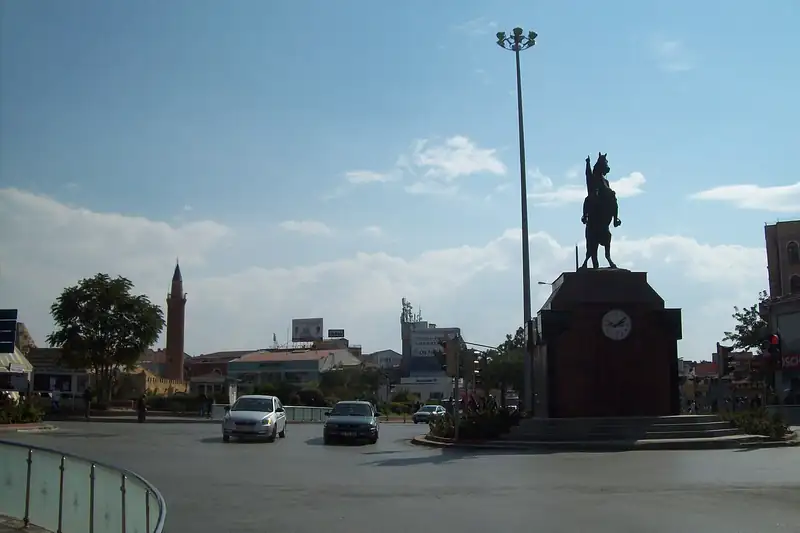
Kırşehir sits in the heart of Central Anatolia, in the Kızılırmak basin. The province, plate code 40, has about 242,000 residents in 7 districts. The city is closely linked to Ahi Evran, regarded as the founder of the Ahi guild tradition, and its bozlak folk songs and abdal music became known across Türkiye through the bağlama master Neşet Ertaş. The Seljuk-era Cacabey Madrasa, the Hirfanlı Dam lake, the Kalehöyük excavation at Kaman and thermal springs such as Terme are among the highlights.
Lying on routes that link Ankara with Cappadocia and Kayseri, Kırşehir is a useful stop for drivers crossing the region. The steppe climate brings cold, windy winters and hot, dry summers, and fog, snow or ice can change road conditions in winter. This page offers live weather for Kırşehir and lists nearby live cams and live data for the area, with easy links to cameras in neighbouring areas such as Nevşehir and Cappadocia.
Kırşehir (40) is a province of Turkey with 7 districts and about 241,868 inhabitants. There is no public official camera in this area right now. Below are the nearest live cams with distances; weather and road risk are calculated for this location.
Sorted by straight-line distance.
Sarıyahşi, Aksaray 45 km
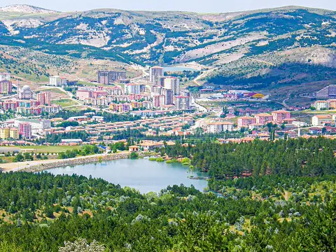
Yozgat Central, Yozgat 80 km
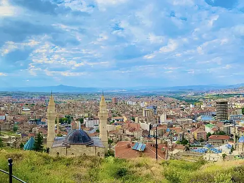
Nevşehir Central, Nevşehir 93 km
Gülağaç, Aksaray 106 km
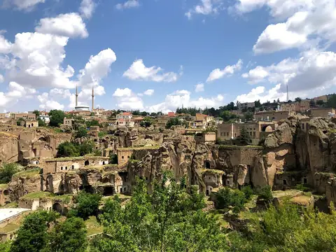
Güzelyurt, Aksaray 118 km
Güzelyurt, Aksaray 119 km
Güzelyurt, Aksaray 119 km
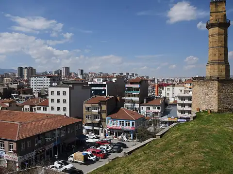
Niğde, Turkey 149 km
Each district page has live weather, road risk, neighbouring districts and a satellite map.
Kırşehir lies at 39.330°N 34.127°E, about 1,138 m above sea level. Nearby: Kırıkkale (67 km), Yozgat (80 km) and Nevşehir (94 km). Population: about 241,868.
At the latest reading it was 8°C (overcast), with wind at 2 km/h. Over the next 7 days highs average around 15°C and lows around 7°C. The warmest day should be Thu, October 22 (17°C), the coolest night Mon, October 19 (4°C). The 16-day forecast shows rain on 6 days.
Hourly and 16-day forecast: Kırşehir weather.
In the last 12 months 58 earthquakes were recorded in this area; 1 of them were magnitude 3 or above. The largest was a magnitude 3.4 quake near Çiçekdağı, Kırşehir on August 1. The nearest active fault line is about 1 km northeast. Earthquake data comes from AFAD and is refreshed every few minutes.
Today the sun rises at 06:54 and sets at 18:03, giving 11 h 9 min of daylight. Around the June solstice daylight lasts 14 h 57 min; around the December solstice, 9 h 24 min. For photos, the evening golden hour starts at about 17:27 today.
There is no camera in Kırşehir yet; the nearest live stream is Sarıyahşi City Camera (45 km).
Live data pages for this place: Kırşehir weather, Kırşehir earthquakes, Kırşehir air quality, Kırşehir sunrise and sunset.
Kırşehir – map and satellite
39.330°N 34.127°E
Map tiles load from the map provider, which receives your IP address.
Live cams near me
Your location is used only on this device to calculate distances; it is never sent to our server.
Your cookie choices
Cookies needed to run the site are always on. We load third-party services for stream autoplay, visit statistics and ads only if you allow them. Details: Cookie policy, Privacy notice.