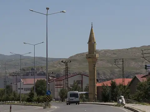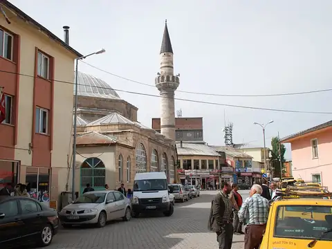
Live Watch here
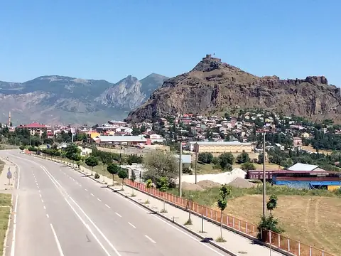
Kangal City Camera
Kangal, Sivas
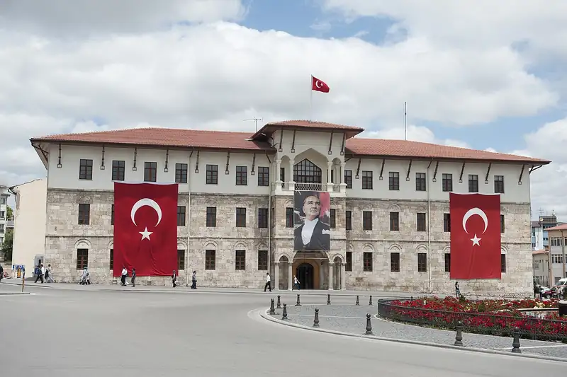
Sivas lies in eastern Central Anatolia on a broad, high plateau that includes the headwaters of the Kızılırmak. The province, plate code 58, has about 647,000 residents in 17 districts. The UNESCO-listed Great Mosque and Hospital of Divriği, the Gök Medrese, the Twin Minaret Madrasa and the building where the Sivas Congress met are its historic landmarks. Kangal shepherd dogs and the fish spa at Balıklı Kaplıca near Kangal are known across Türkiye.
Sivas is known for cold, snowy winters, and snow, blizzards and ice are common on high passes and on routes via Zara towards Erzincan and Erzurum. Skiers heading to the Yıldız Mountain ski centre also follow snow conditions. This page features city cameras in Kangal and Zara, live weather and links to nearby districts. You can also reach live cams in neighbouring Tokat, Yozgat and Erzincan to follow conditions along your route.
Sivas (58) is a province of Turkey with 17 districts and about 646,608 inhabitants. 3 live cams listed here; 3 were online at the last check. Streams that allow embedding play on this page, the others open at the official source.
Streams that are online are listed first.
Sorted by straight-line distance.
Almus, Tokat 108 km
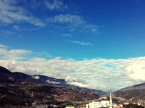
Reşadiye, Tokat 110 km
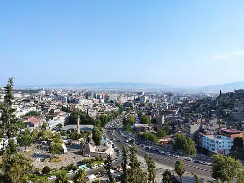
Kahramanmaraş, Turkey 130 km
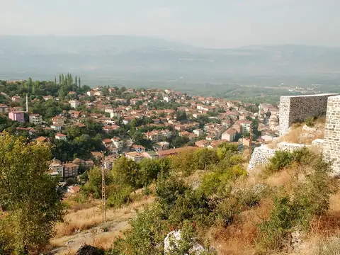
Niksar, Tokat 131 km
Kahramanmaraş, Turkey 136 km
Kahramanmaraş, Turkey 136 km
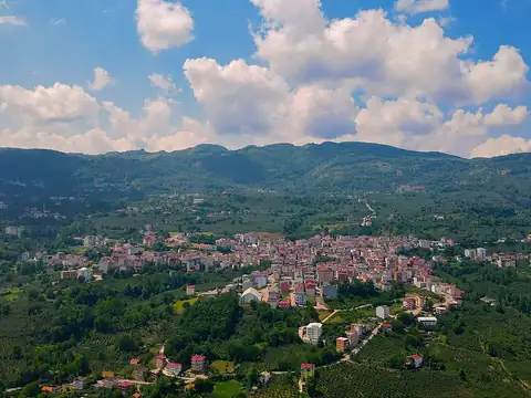
Aybastı, Ordu 143 km
Şebinkarahisar, Giresun 149 km
Each district page has live weather, road risk, neighbouring districts and a satellite map.
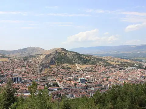
Sivas lies at 39.419°N 37.101°E, about 1,429 m above sea level. Nearby: Tokat (115 km), Ordu (159 km) and Malatya (159 km). Population: about 646,608.
At the latest reading it was 8°C (partly cloudy), with wind at 5 km/h. Over the next 7 days highs average around 16°C and lows around 6°C. The warmest day should be Thu, October 22 (17°C), the coolest night Tue, October 20 (3°C). The 16-day forecast shows rain on 5 days.
Hourly and 16-day forecast: Sivas weather.
In the last 12 months 297 earthquakes were recorded in this area; 6 of them were magnitude 3 or above. The largest was a magnitude 3.7 quake near Gürün, Sivas on June 29. The nearest active fault line is about 1 km south. Earthquake data comes from AFAD and is refreshed every few minutes.
Today the sun rises at 06:42 and sets at 17:51, giving 11 h 9 min of daylight. Around the June solstice daylight lasts 14 h 57 min; around the December solstice, 9 h 23 min. For photos, the evening golden hour starts at about 17:15 today.
We list 3 live cams for Sivas; 3 were live at the last check.
Live data pages for this place: Sivas weather, Sivas earthquakes, Sivas air quality, Sivas sunrise and sunset.
Sivas – map and satellite
39.419°N 37.101°E
Map tiles load from the map provider, which receives your IP address.
Live cams near me
Your location is used only on this device to calculate distances; it is never sent to our server.
Your cookie choices
Cookies needed to run the site are always on. We load third-party services for stream autoplay, visit statistics and ads only if you allow them. Details: Cookie policy, Privacy notice.