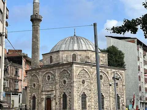
Live Watch here
Bektas Plateau, Giresun
Dereli, Giresun
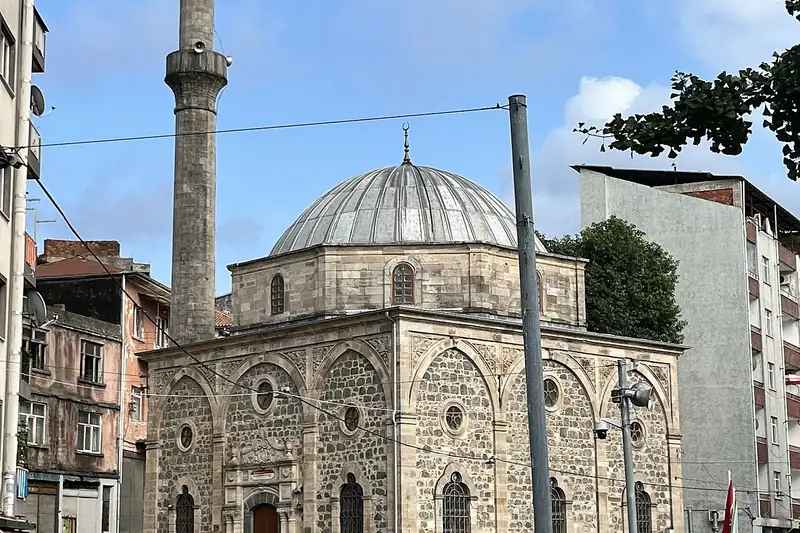
Giresun, on the eastern Black Sea coast between Ordu and Trabzon, is a province synonymous with hazelnuts. Licence-plate code 28 belongs to this province of about 425,000 people in 16 districts. Giresun Island just offshore, Giresun Castle on the hill above town and the annual Aksu Festival are among its best-known features. Inland, highland pastures such as Kümbet, Bektaş, Kulakkaya and Paşakonağı are popular summer escapes from the heat. Hazelnut farming is the backbone of the economy.
In the Black Sea climate rain can fall in any season; the coast is humid and mild, while the highlands are cool and often foggy, and in winter snow and ice can make the plateau roads difficult. This page features live cameras on Keşap Square, the town of Kovanlık, the village of Boztekke, the Paşakonağı and Kulakkaya highlands and the Dikmen Hill viewpoint in Bulancak, so you can follow conditions from coast to plateau alongside current weather and live district data.
Giresun (28) is a province of Turkey with 16 districts and about 424,106 inhabitants. 9 live cams listed here; 9 were online at the last check. Streams that allow embedding play on this page, the others open at the official source.
Streams that are online are listed first.
Dereli, Giresun
Giresun Central, Giresun
Bulancak, Giresun
Giresun Central, Giresun
Bulancak, Giresun
Giresun Central, Giresun
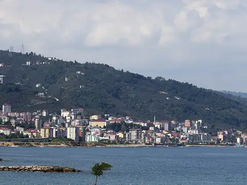
Keşap, Giresun
Bulancak, Giresun
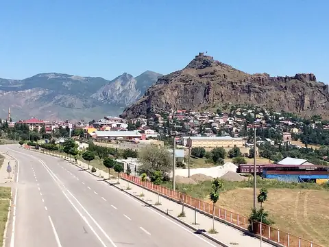
Şebinkarahisar, Giresun
Each district page has live weather, road risk, neighbouring districts and a satellite map.
Giresun lies at 40.653°N 38.517°E, about 1,573 m above sea level. Nearby: Gümüşhane (86 km), Ordu (95 km) and Trabzon (109 km). Population: about 424,106.
At the latest reading it was 10°C (mostly clear), with wind at 6 km/h. Over the next 7 days highs average around 15°C and lows around 7°C. The warmest day should be Sat, October 17 (18°C), the coolest night Wed, October 21 (5°C). The 16-day forecast shows rain on 5 days.
Hourly and 16-day forecast: Giresun weather.
In the last 12 months 32 earthquakes were recorded in this area; 1 of them were magnitude 3 or above. The largest was a magnitude 3.3 quake near Tirebolu, Giresun on March 17. The nearest active fault line is about 61 km southwest. Earthquake data comes from AFAD and is refreshed every few minutes.
Today the sun rises at 06:37 and sets at 17:44, giving 11 h 7 min of daylight. Around the June solstice daylight lasts 15 h 5 min; around the December solstice, 9 h 15 min. For photos, the evening golden hour starts at about 17:07 today.
We list 9 live cams for Giresun; 9 were live at the last check.
Live data pages for this place: Giresun weather, Giresun earthquakes, Giresun air quality, Giresun sunrise and sunset.
Giresun – map and satellite
40.653°N 38.517°E
Map tiles load from the map provider, which receives your IP address.
Live cams near me
Your location is used only on this device to calculate distances; it is never sent to our server.
Your cookie choices
Cookies needed to run the site are always on. We load third-party services for stream autoplay, visit statistics and ads only if you allow them. Details: Cookie policy, Privacy notice.