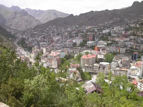
Live Watch here
Torul City Camera
Torul, Gümüşhane 142 km
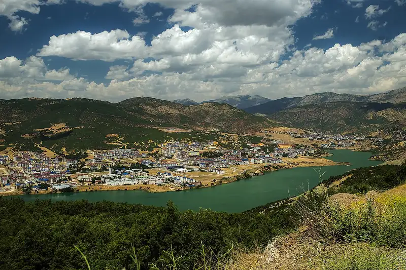
Tunceli lies in mountainous Eastern Anatolia, between Erzincan, Elazığ and Bingöl. The province, plate code 62, has about 78,000 residents in 8 districts, making it quiet but exceptionally rich in nature. Munzur Valley National Park, the clear waters of the Munzur River and the mountain scenery of Ovacık and Pülümür are its best-known natural treasures, and Pertek Castle, rising from the Keban Dam lake, attracts photographers. Rafting and hiking along the Munzur are popular in summer.
Winters in Tunceli are long, cold and snowy, and snow and ice can disrupt mountain roads, especially the route through the Pülümür valley to Erzincan. Snowmelt raises river levels in spring, while in summer the valleys offer a cool escape. This page offers live weather for Tunceli and lists nearby live cams and live data for the area, with links to cameras in neighbouring Elazığ, Erzincan and Bingöl.
Tunceli (62) is a province of Turkey with 8 districts and about 78,056 inhabitants. There is no public official camera in this area right now. Below are the nearest live cams with distances; weather and road risk are calculated for this location.
Sorted by straight-line distance.
Torul, Gümüşhane 142 km
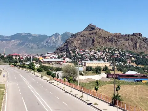
Şebinkarahisar, Giresun 163 km
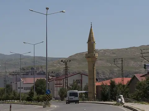
Zara, Sivas 177 km
Zara, Sivas 177 km
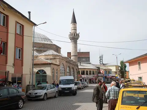
Kangal, Sivas 182 km
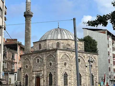
Dereli, Giresun 191 km
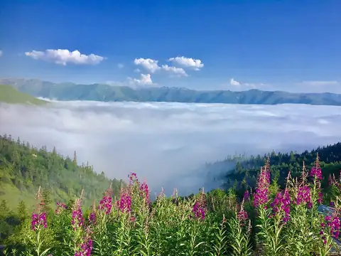
İkizdere, Rize 202 km
İkizdere, Rize 202 km
Each district page has live weather, road risk, neighbouring districts and a satellite map.
Tunceli lies at 39.106°N 39.548°E, about 917 m above sea level. Nearby: Elazığ (60 km), Erzincan (63 km) and Bingöl (102 km). Population: about 78,056.
At the latest reading it was 14°C (light showers), with wind at 7 km/h. Over the next 7 days highs average around 21°C and lows around 12°C. The warmest day should be Sat, October 17 (22°C), the coolest night Thu, October 22 (10°C). The 16-day forecast shows rain on 6 days.
Hourly and 16-day forecast: Tunceli weather.
In the last 12 months 121 earthquakes were recorded in this area; 4 of them were magnitude 3 or above. The largest was a magnitude 4.2 quake near Pülümür, Tunceli on December 9 2025. The nearest active fault line is about 11 km north. Earthquake data comes from AFAD and is refreshed every few minutes.
Today the sun rises at 06:32 and sets at 17:42, giving 11 h 10 min of daylight. Around the June solstice daylight lasts 14 h 55 min; around the December solstice, 9 h 25 min. For photos, the evening golden hour starts at about 17:05 today.
There is no camera in Tunceli yet; the nearest live stream is Torul City Camera (142 km).
Live data pages for this place: Tunceli weather, Tunceli earthquakes, Tunceli air quality, Tunceli sunrise and sunset.
Tunceli – map and satellite
39.106°N 39.548°E
Map tiles load from the map provider, which receives your IP address.
Live cams near me
Your location is used only on this device to calculate distances; it is never sent to our server.
Your cookie choices
Cookies needed to run the site are always on. We load third-party services for stream autoplay, visit statistics and ads only if you allow them. Details: Cookie policy, Privacy notice.