Watch here
I-64 Exit 55 (Montrose), Charleston – WVDOT traffic camera
West Virginia, United States
1 live cam listed here; 0 were online at the last check. Streams that allow embedding play on this page, the others open at the official source.
Streams that are online are listed first.
Sorted by straight-line distance.
Pennsylvania, United States 210 km
Columbus, Ohio 254 km
Ashland, Virginia, Virginia 288 km
North Carolina, United States 298 km
Virginia, United States 302 km
Virginia, United States 309 km
Washington, Washington, D.C. 311 km
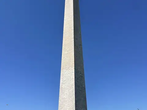
Washington, Washington, D.C. 311 km
West Virginia lies at 38.600°N 80.600°W, about 461 m above sea level. Nearby: Virginia (193 km), Ohio (267 km) and Washington, D.C. (311 km).
At the latest reading it was 21°C (clear), with wind at 5 km/h. Over the next 7 days highs average around 18°C and lows around 7°C. The warmest day should be Thu, October 15 (25°C), the coolest night Sun, October 18 (1°C). The 16-day forecast shows rain on 3 days.
Hourly and 16-day forecast: West Virginia weather.
No earthquakes were recorded in the area in the last 12 months. Earthquake data comes from USGS and is refreshed every few minutes.
Today the sun rises at 07:32 and sets at 18:42, giving 11 h 10 min of daylight. Around the June solstice daylight lasts 14 h 52 min; around the December solstice, 9 h 28 min. For photos, the evening golden hour starts at about 18:06 today.
We list 1 live cam for West Virginia; 0 were live at the last check.
Live data pages for this place: West Virginia weather, West Virginia air quality, West Virginia sunrise and sunset.
West Virginia – map and satellite
38.600°N 80.600°W
Map tiles load from the map provider, which receives your IP address.
Live cams near me
Your location is used only on this device to calculate distances; it is never sent to our server.
Your cookie choices
Cookies needed to run the site are always on. We load third-party services for stream autoplay, visit statistics and ads only if you allow them. Details: Cookie policy, Privacy notice.