Live Watch here
I-80 Bay Bridge, San Francisco Traffic Camera
US-224 California, United States < 1 km
Unreachable · 43 min ago California, United States Traffic CamerasRoad Conditions & Mountain Passes
The stream loads directly from the owner's server. We never record images.
The stream was unreachable at the last check; the source may be temporarily offline.
The streams closest to this cam – all of them play right here.
US-224 California, United States < 1 km
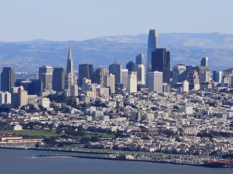
US-443 San Francisco, California < 1 km
US-446 San Francisco, California < 1 km
San Francisco, California 1.4 km
The San Francisco–Oakland Bay Bridge carries Interstate 80 across San Francisco Bay, linking the two cities. Its eastern span features a self-anchored suspension (SAS) section with a single white tower, the bridge's most striking element, close to Yerba Buena Island.
Published by Caltrans District 4, this camera shows traffic on this stretch of the bridge in frequently refreshed images. Volumes crossing the bay rise noticeably during the morning and evening commutes. Besides checking for crashes or slowdowns, it is useful for seeing fog, rain and visibility over the bay before you set off.
I-80 Bay Bridge SAS Tower, San Francisco–Oakland – Caltrans traffic camera is a public live camera in California, United States. The stream is published by Caltrans (California DOT) – District 4. We do not broadcast or record anything ourselves: if the owner allows embedding, the stream plays here in the owner’s official player; otherwise only the owner’s own player opens in a separate window.
On this page you’ll also find the live weather for this exact location, the stream status (checked every 15 minutes) and other live cams nearby. Categories: Traffic Cameras, Road Conditions & Mountain Passes.
I-80 Bay Bridge SAS Tower, San Francisco–Oakland – Caltrans traffic camera is a live camera in California, United States. The stream is provided by Caltrans (California DOT) – District 4; it plays directly on this page and is never recorded by us.
The camera is at 37.815°N 122.359°W; the area sits about 7 m above sea level. It is 261 km west of central California as the crow flies. Nearest other cams: I-80 Bay Bridge, San Francisco Traffic Camera (< 1 km), San Francisco – I-80 – before Yerba Buena Tunnel (< 1 km) and San Francisco – I-80 – after Bay Bridge Skyway curve (< 1 km).
At the latest reading it was 21°C (clear), with wind at 14 km/h. Visibility is about 52 km. Today's expected high is 29°C and low 11°C. The 16-day forecast shows rain on 2 days.
Today the sun rises at 07:18 and sets at 18:30, giving 11 h 11 min of daylight. The evening golden hour starts at about 17:54 and the blue hour at about 18:46 – the best time for scenic cams. At night, image quality depends on local lighting.
The owner's published snapshot refreshes every 30 seconds while the page is open. Last check: 16.10.2026 22:25, status: unreachable. Sources are checked every 15 minutes. Source: Caltrans.
All of them play on this site.

Fatih, Istanbul

New York City, New York State
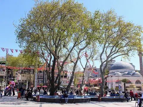
Bandırma, Balıkesir
Üsküdar, Istanbul
Katmai National Park, Alaska
US-159 Florida, United States
US-103 Florida, United States
Beyoğlu, Istanbul
Source information
We never record or copy this stream. If you believe your personal data appears in it, or you own the stream, let us know; we review it within 24 hours.
I-80 Bay Bridge SAS Tower, San Francisco–Oakland – Caltrans traffic camera – location
37.815°N 122.359°W
Map tiles load from the map provider, which receives your IP address.
Live cams near me
Your location is used only on this device to calculate distances; it is never sent to our server.
Your cookie choices
Cookies needed to run the site are always on. We load third-party services for stream autoplay, visit statistics and ads only if you allow them. Details: Cookie policy, Privacy notice.