Live Watch here
Khedive's Palace
Beykoz, Istanbul 1.5 km
No notable weather-related road risk.
Updated: 03:24 · Source: Open-Meteo · For information only.
Official sources within 8 km; straight-line distances.
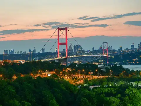
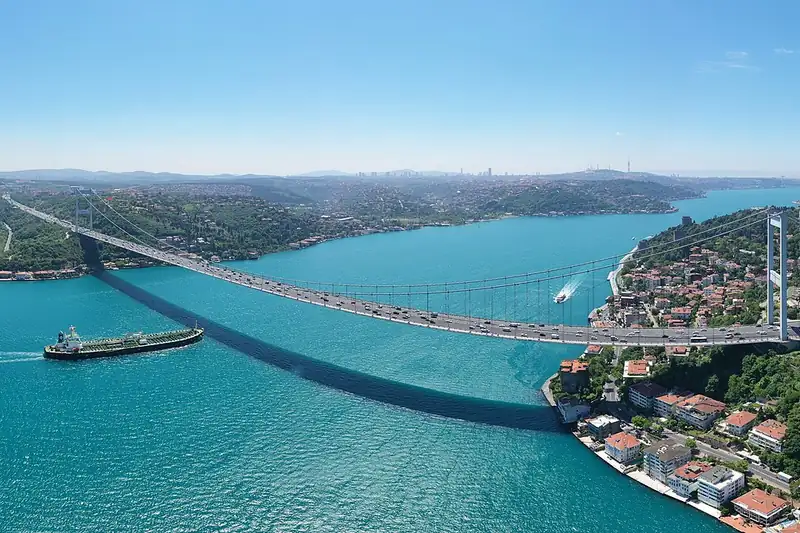
Fatih Sultan Mehmet Bridge: live cams around the bridge, live weather and wind. Strong wind can affect high vehicles and motorcycles on the bridge; check the nearest cameras before crossing.
Fatih Sultan Mehmet Bridge lies at 41.091°N 29.061°E. It is 8.6 km south of central Sarıyer as the crow flies. Nearest other cams: Khedive's Palace (1.5 km), Emirgan (1.9 km) and Ulus Park (3.5 km).
At the latest reading it was 11°C (overcast), with wind at 8 km/h. Over the next 7 days highs average around 19°C and lows around 12°C. The warmest day should be Thu, October 22 (22°C), the coolest night Sat, October 17 (11°C). The 16-day forecast shows rain on 9 days.
In the last 12 months 321 earthquakes were recorded in this area; 2 of them were magnitude 3 or above. The largest was a magnitude 3.5 quake near Yalova Central, Yalova on October 10. Earthquake data comes from AFAD and is refreshed every few minutes.
Today the sun rises at 07:17 and sets at 18:20, giving 11 h 3 min of daylight. Around the June solstice daylight lasts 15 h 8 min; around the December solstice, 9 h 13 min. For photos, the evening golden hour starts at about 17:42 today.
Fatih Sultan Mehmet Bridge – map and satellite
41.091°N 29.061°E
Map tiles load from the map provider, which receives your IP address.
Live cams near me
Your location is used only on this device to calculate distances; it is never sent to our server.
Your cookie choices
Cookies needed to run the site are always on. We load third-party services for stream autoplay, visit statistics and ads only if you allow them. Details: Cookie policy, Privacy notice.