Live Watch here
Vancouver – Hwy 99 – Shell Road (Richmond) (northbound)
CA-061 Vancouver, Canada 3.6 km
Live · 6 h ago Vancouver, Canada Traffic CamerasRoad Conditions & Mountain Passes
The stream loads directly from the owner's server. We never record images.
The streams closest to this cam – all of them play right here.
CA-061 Vancouver, Canada 3.6 km
CA-059 Vancouver, Canada 3.9 km
CA-056 Vancouver, Canada 5.6 km
Vancouver, Canada 9.1 km
In Marpole, on Vancouver's south side, the corner of Oak Street and West 70th Avenue is where Highway 99 switches between city streets and freeway. This DriveBC camera looks south, toward the Oak Street Bridge and Richmond.
Highway 99's freeway standard ends at Marine Drive in Marpole. Northbound, the route follows Oak Street briefly, turns west onto West 70th Avenue, then runs about 7 km up Granville Street to the Granville Bridge, downtown and eventually the Lions Gate Bridge. The junction therefore acts as a funnel, spreading traffic from Richmond into the city grid.
The bridge to the south opened on 29 June 1957, replacing the aging Marpole Bridge. At 1,839 m long, its four lanes cross the North Arm of the Fraser River and the Canada Line. A 25-cent toll charged from opening was lifted on 31 March 1964, and by 2000 the crossing averaged 85,000 vehicles a day. Its southern approach was seismically strengthened in 2002.
Southbound queues toward Richmond and the airport are typical of the evening commute. On rainy days, this Oak Street live cam and the Vancouver weather are best checked together.
Vancouver – Hwy 99 – Oak Street / 70th Avenue (southbound) is a public live camera in Vancouver, Canada. The stream is published by British Columbia Ministry of Transportation and Transit (DriveBC). We do not broadcast or record anything ourselves: if the owner allows embedding, the stream plays here in the owner’s official player; otherwise only the owner’s own player opens in a separate window.
On this page you’ll also find the live weather for this exact location, the stream status (checked every 15 minutes) and other live cams nearby. Categories: Traffic Cameras, Road Conditions & Mountain Passes.
Vancouver – Hwy 99 – Oak Street / 70th Avenue (southbound) is a live camera in Vancouver, Canada. The stream is provided by British Columbia Ministry of Transportation and Transit (DriveBC); it plays directly on this page and is never recorded by us.
The camera is at 49.208°N 123.130°W. It is 8.3 km south of central Vancouver as the crow flies. Nearest other cams: Vancouver – Hwy 99 – Shell Road (Richmond) (northbound) (3.6 km), Vancouver – Knight Street Bridge (northbound) (3.9 km) and Vancouver – Hwy 99 – Westminster Highway (Richmond) (southbound) (5.6 km).
At the latest reading it was 9°C (overcast), with wind at 9 km/h. Visibility is about 15 km. Today's expected high is 12°C and low 3°C. The 16-day forecast shows rain on 8 days.
Today the sun rises at 08:07 and sets at 17:44, giving 9 h 37 min of daylight. The evening golden hour starts at about 16:56 and the blue hour at about 18:05 – the best time for scenic cams. At night, image quality depends on local lighting.
The owner's published snapshot refreshes every 30 seconds while the page is open. Last check: 05.11.2026 09:40, status: live. Sources are checked every 15 minutes. Source: Contains information licensed under the Open Government Licence – British Columbia.
All of them play on this site.

Osmangazi, Bursa
Osmangazi, Bursa
Yıldırım, Bursa
Miami, Florida

Gökçeada, Çanakkale

Mecca, Saudi Arabia

Samsun, Turkey
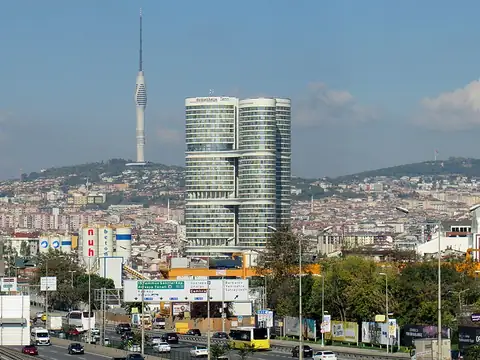
Üsküdar, Istanbul
Source information
We never record or copy this stream. If you believe your personal data appears in it, or you own the stream, let us know; we review it within 24 hours.
Vancouver – Hwy 99 – Oak Street / 70th Avenue (southbound) – location
49.208°N 123.130°W
Map tiles load from the map provider, which receives your IP address.
Live cams near me
Your location is used only on this device to calculate distances; it is never sent to our server.
Your cookie choices
Cookies needed to run the site are always on. We load third-party services for stream autoplay, visit statistics and ads only if you allow them. Details: Cookie policy, Privacy notice.